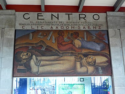
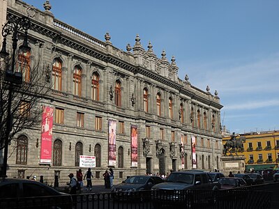
About Xochimilco
Other, Unclassified Objects, Interesting Places, Historic Object
Xochimilco (Spanish pronunciation: [sotʃiˈmilko, ʃotʃiˈmilko]; Nahuatl languages: Xōchimīlco, pronounced [ʃoːtʃiˈmiːlko] listen ) is one of the 16 mayoralities (Spanish: alcaldías) or boroughs within Mexico City. The borough is centered on the formerly independent city of Xochimilco, which was established on what was the southern shore of Lake Xochimilco in the pre-Hispanic period. Today, the borough consists of the eighteen “barrios” or neighborhoods of this city along with fourteen “pueblos” or villages that surround it, covering an area of 125 km2 (48 sq mi). The borough is in the southeastern part of the city and has an identity that is separate from the historic center of Mexico City, due to its historic separation from that city during most of its history. Xochimilco is best known for its canals, which are left from what was an extensive lake and canal system that connected most of the settlements of the Valley of Mexico. These canals, along with artificial islands called chinampas, attract tourists and other city residents to ride on colorful gondola-like boats called “trajineras” around the 170 km (110 mi) of canals. This canal and chinampa system, as a vestige of the area's pre-Hispanic past, has made Xochimilco a World Heritage Site. In 1950, Paramahansa Yogananda in his Autobiography of a Yogi wrote that if there were a scenic beauty contest, Xochimilco would get the first prize. However, severe environmental degradation of the canals and chinampas has brought that status into question.